NOTICE OF APPLICATION FOR AN ENVIRONMENTAL AUTHORISATION AND WATER USE LICENCE FOR THE PROPOSED WILDEBOSCH ROAD EXTENSION TO TRUMALI STREET IN STELLENBOSCH, WESTERN CAPE. DEA&DP REF: 16/3/3/6/7/1/B4/45/1342/23 / DWS REF: WU34262
Zutari hereby gives notice in terms of the Environmental Impact Assessment (EIA) Regulations, 2014, under the National Environmental Management Act, 1998 (Act No.107 of 1998) (NEMA), and the National Water Act, 1998 (No. 36 of 1998) (NWA), that the Stellenbosch Local Municipality (the Applicant), under the Department of Roads and Stormwater, intends to develop a new road in the Paradyskloof area, Stellenbosch. The project would include an extension of Wildebosch Road and upgrading of Trumali Street. The proposed road works trigger activities listed under the NEMA EIA Regulations, 2014 and water uses under Section 21 of the NWA. Therefore, an Environmental Authorisation and a Water Use License are required for the project.
Zutari (Pty) Ltd has been appointed for full professional services as the Design Engineer and an Independent Environmental Assessment Practitioner (EAP) to apply for an Environmental Authorisation and a Water Use Licence for the project.
PROJECT DESCRIPTION
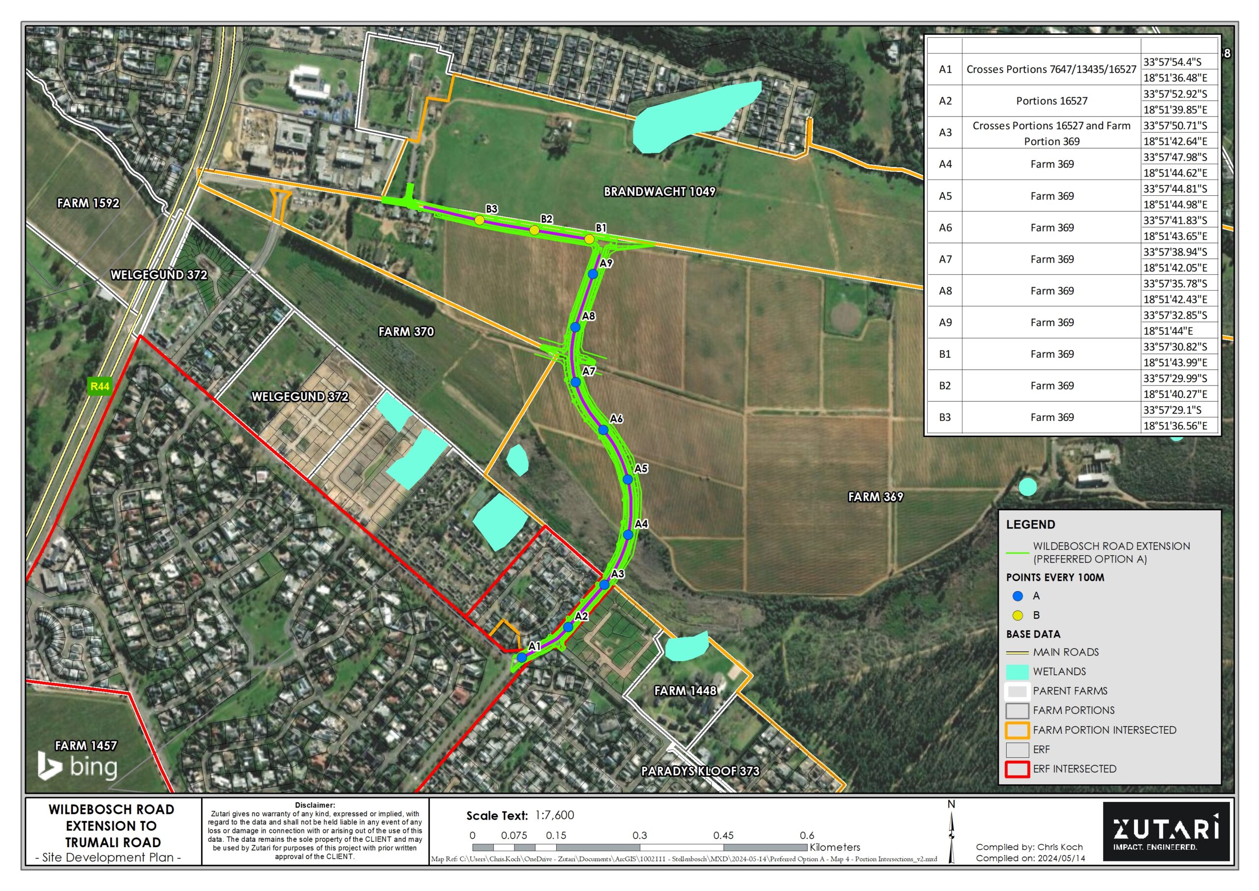
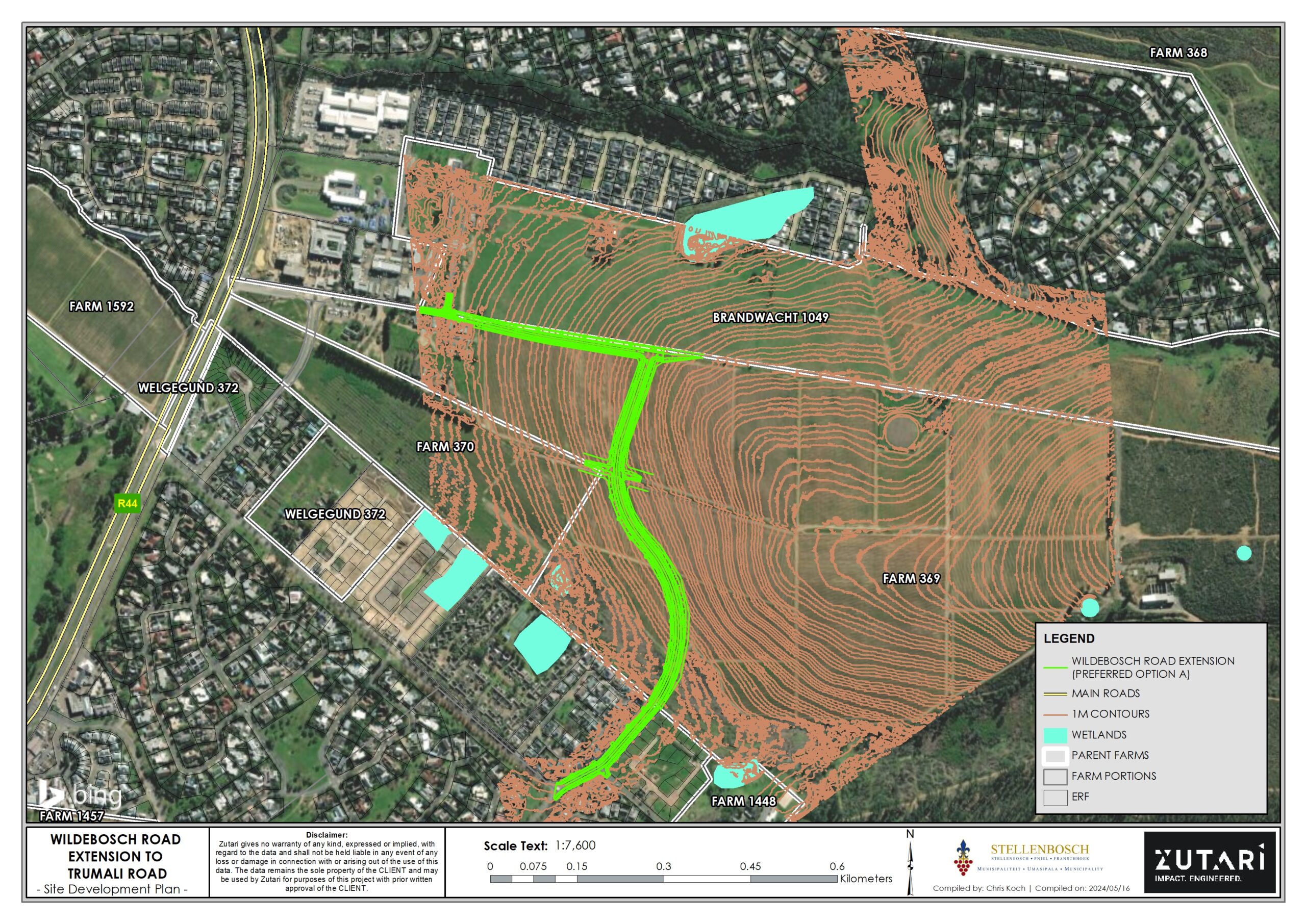
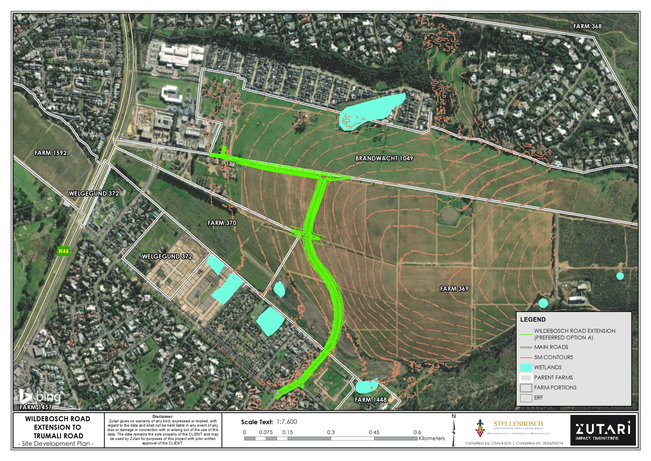
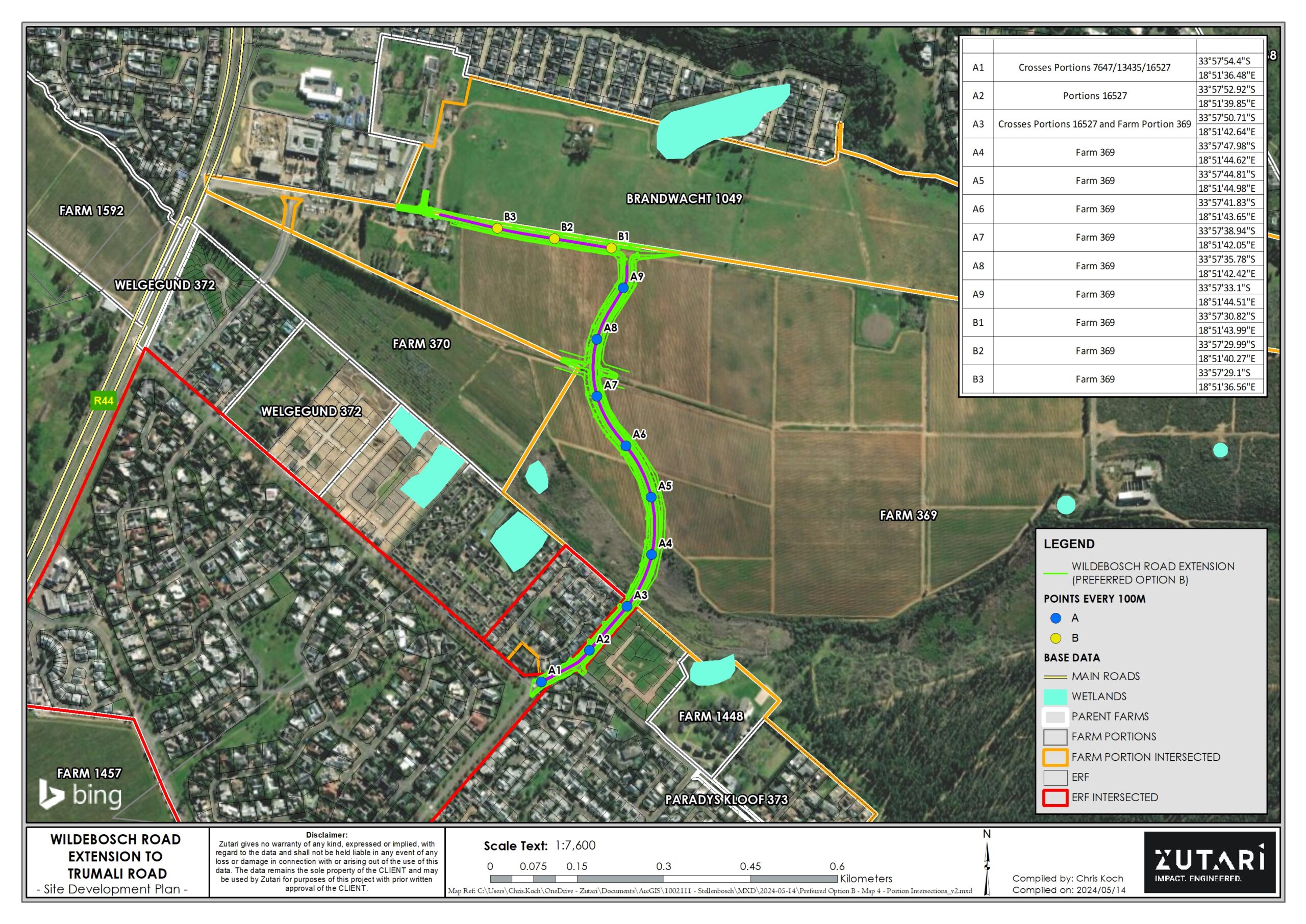
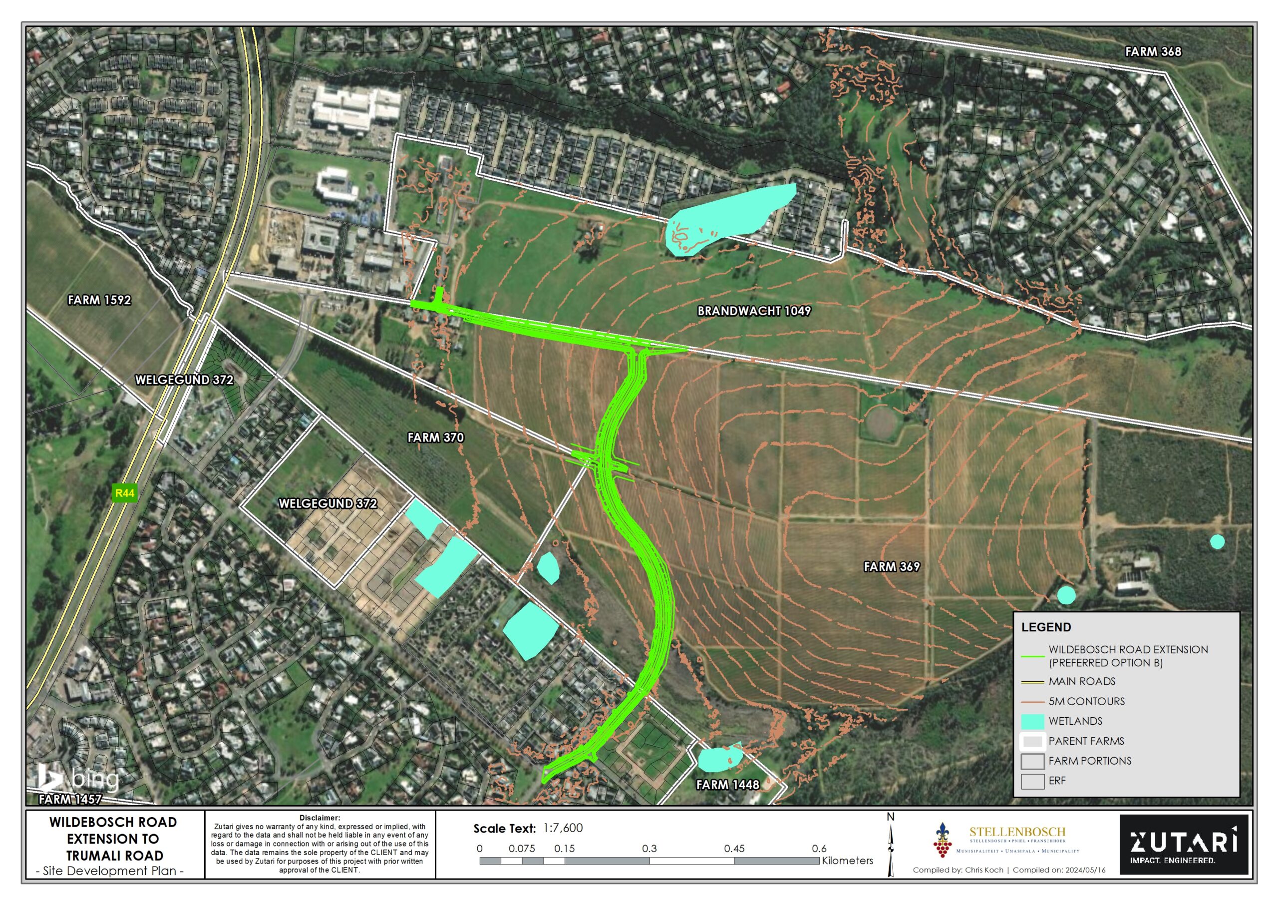
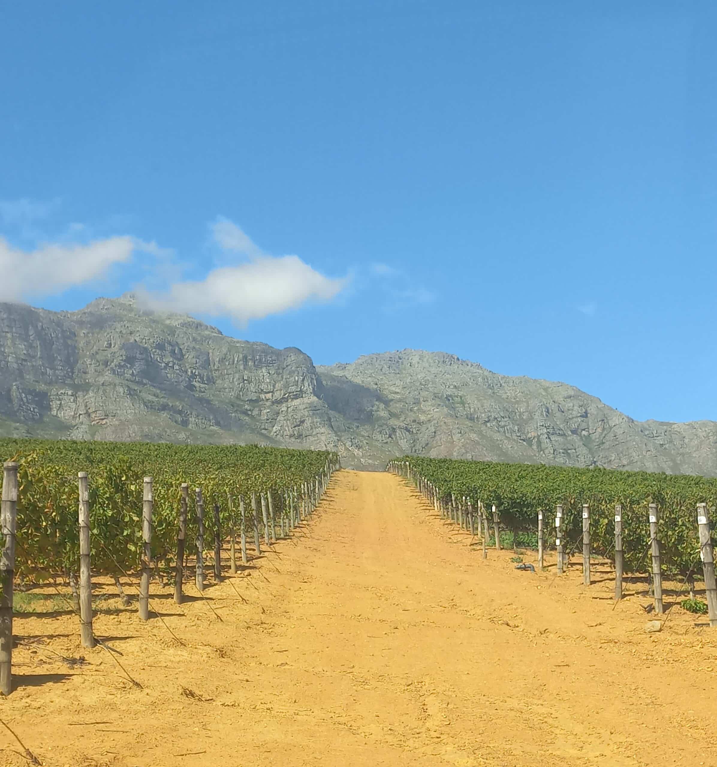
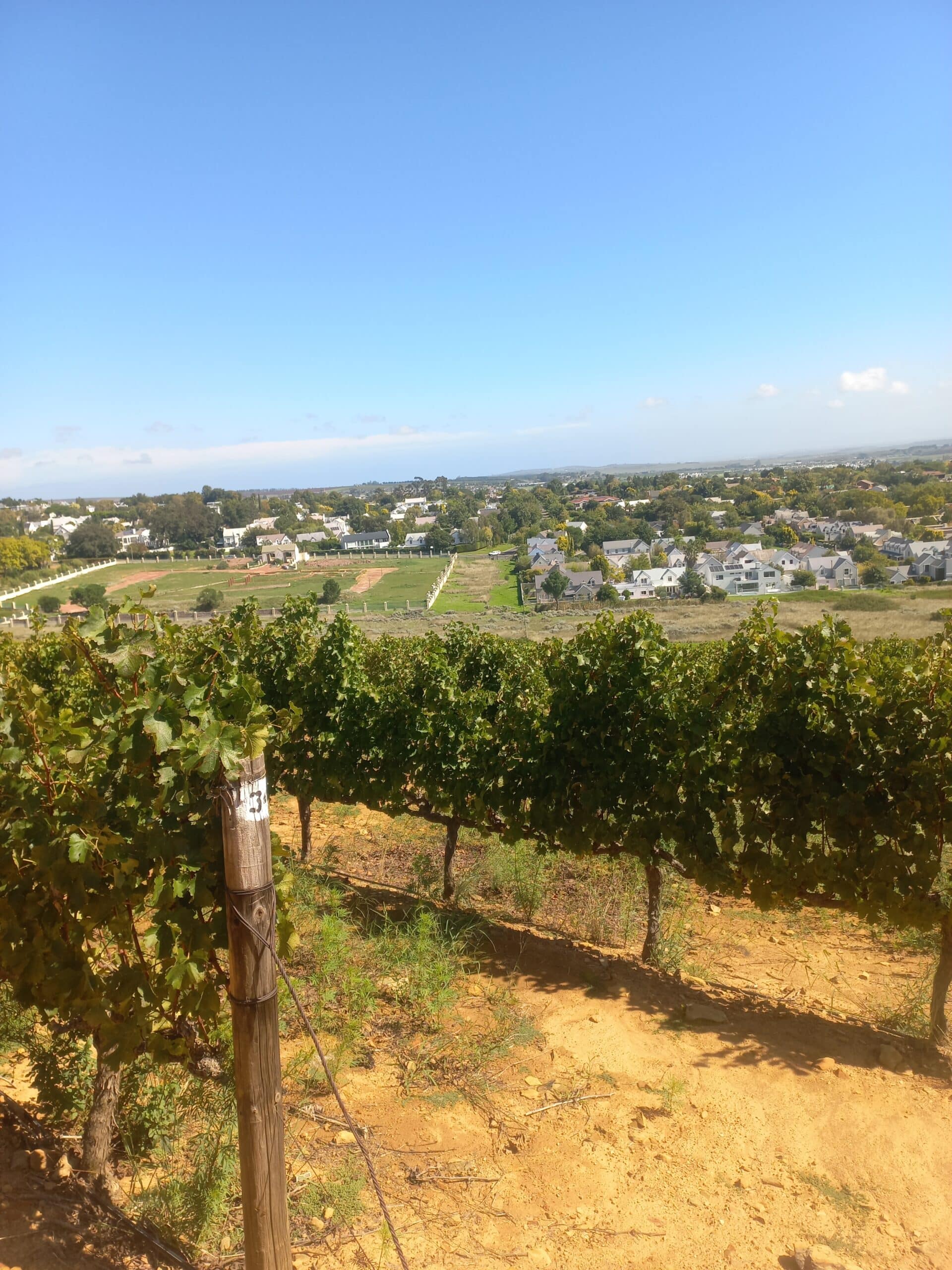
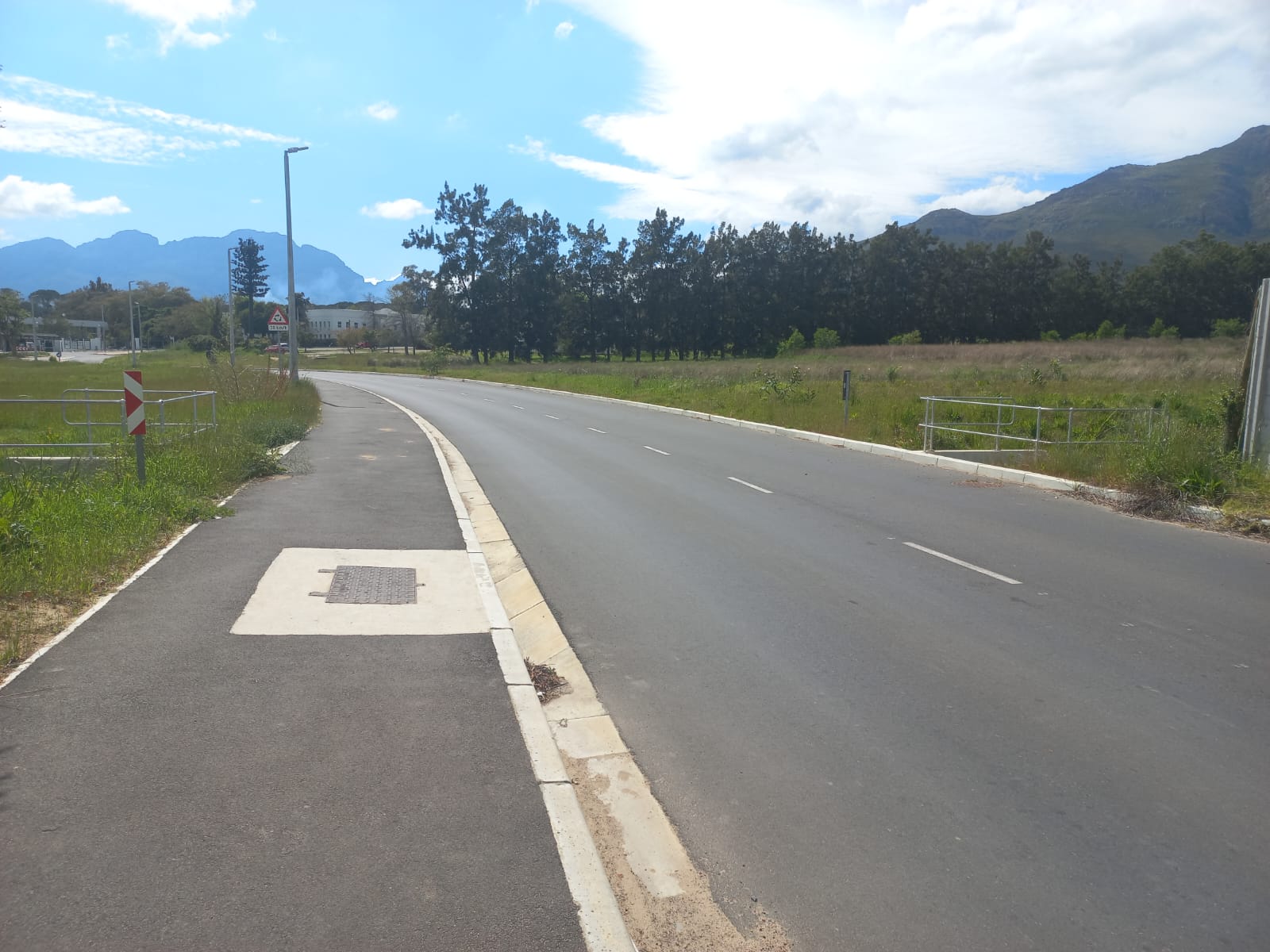
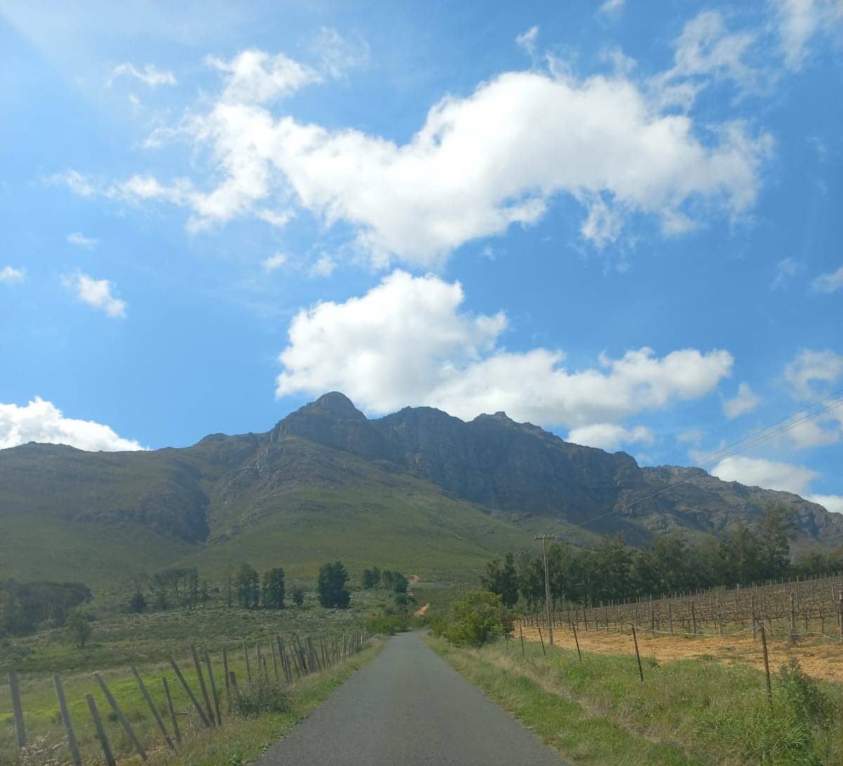
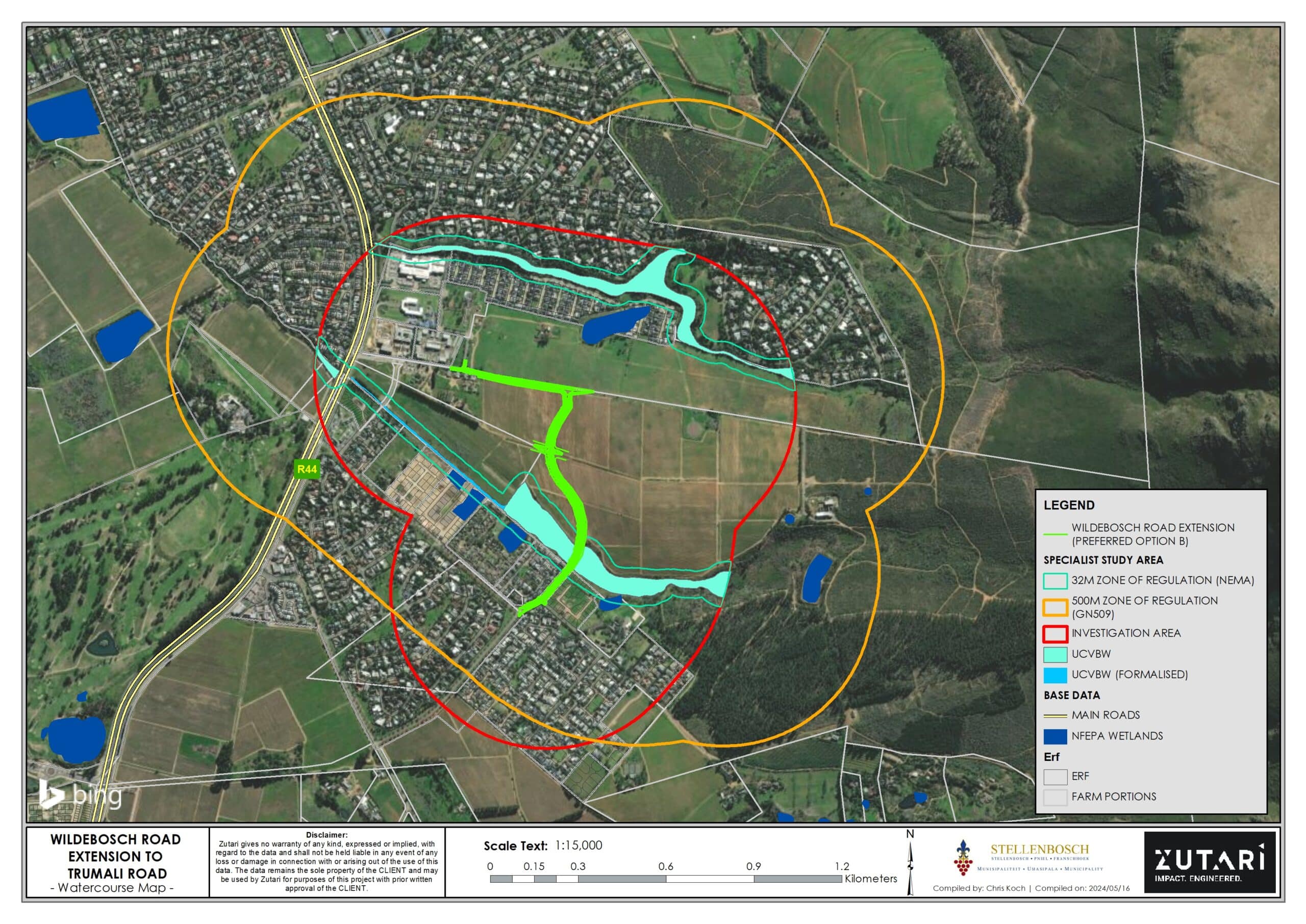
The Wildebosch extension forms part of the Provincial Proclaimed Main Road 169. The extension of Wildebosch commences at Paradyskloof Road where a small portion of road reserve exists (Erf RE/16527) and traverses the farmland (RE/369) in a north-easterly direction to meet the existing Trumali Street, currently a surfaced narrow access road for the Paradyskloof Water Treatment Works. The primary objective of the development is to provide an alternative road alignment to the recently constructed Schuilplaats Road which aligns to the Western Cape Government, Department of Infrastructure’s (WCG) R44 Access Management Strategy project, where closure of several intersections onto the R44 have been, and will be, implemented. The phased implementation of the Paradyskloof-Trumali Street portion would have immediate benefits due to current access restrictions on the R44 and proposed residential developments in the area.
LOCATION
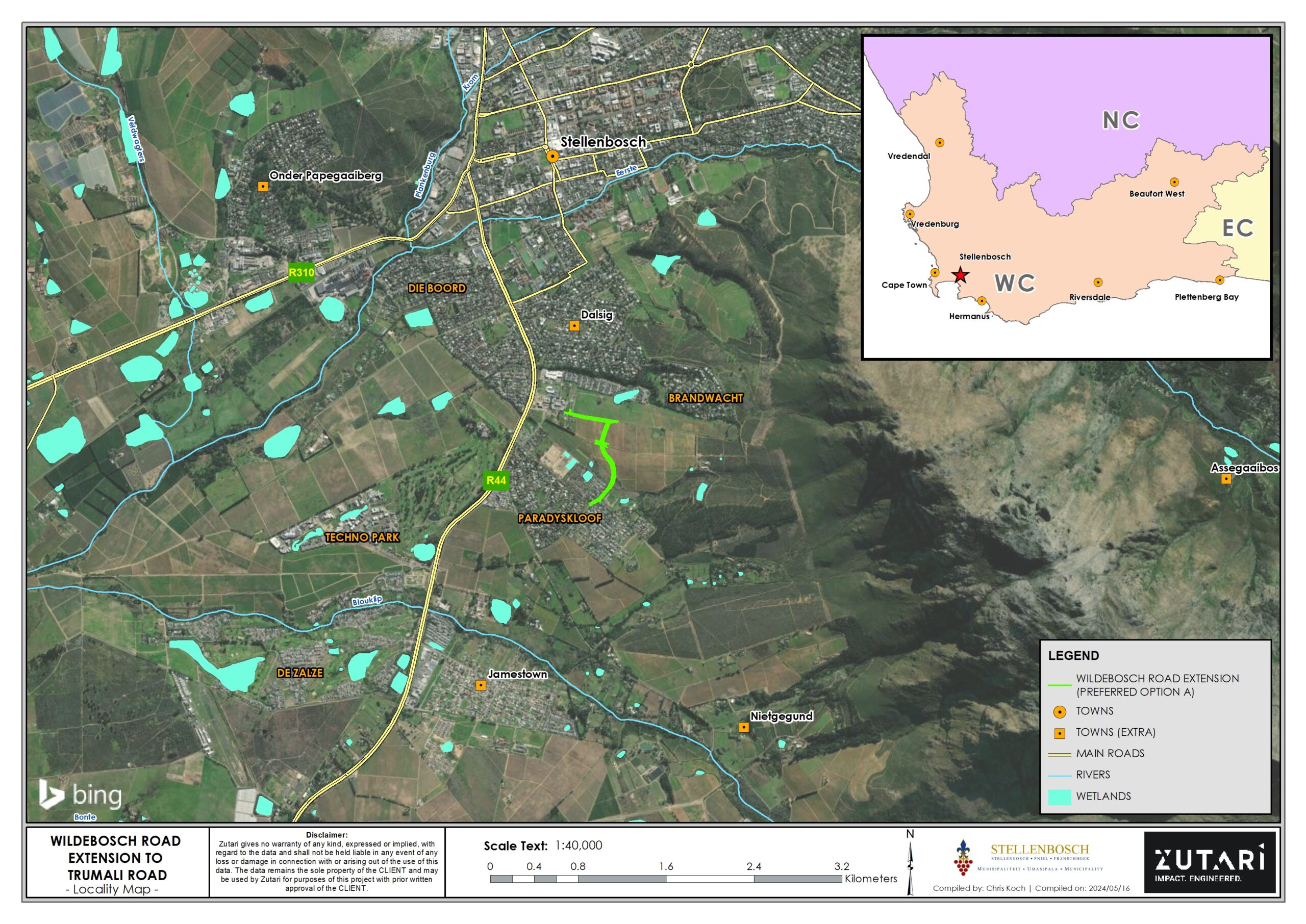
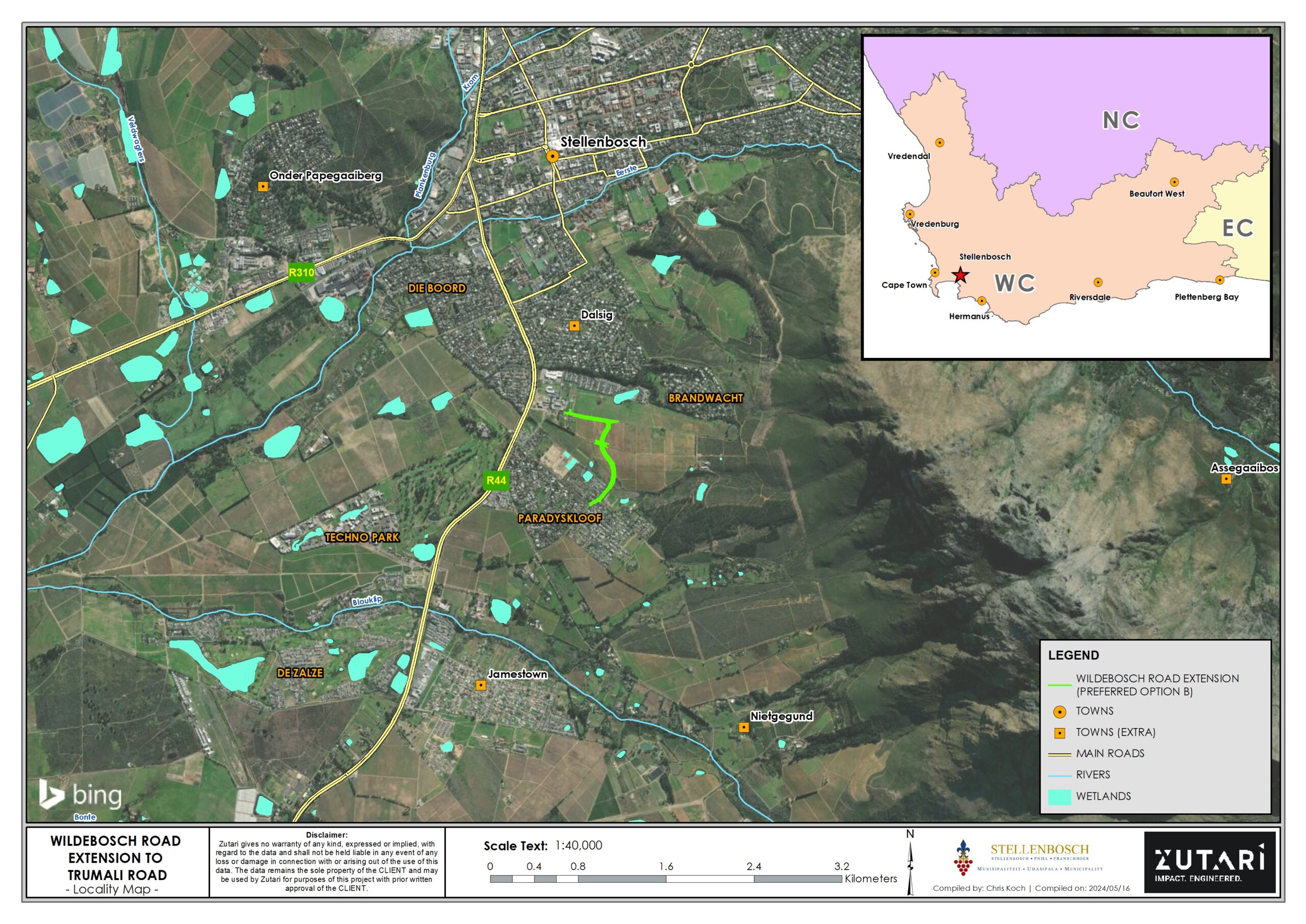
The proposed road alignment would be situated on various properties in Stellenbosch, within Paradyskloof and Brandwacht, in the jurisdiction of the Stellenbosch Local Municipality, Cape Winelands District in the Western Cape. The larger Stellenbosch area is situated approximately 50 km east of Cape Town and bordered by the N1 route in the north and N2 route in the south.
PROPOSED LISTED ACTIVITIES AND WATER USES
| Legislation | Activities |
| GN R982 of 2014 (EIA Regulations) GN R983 of 2014 (Listing Notice 1: BA activities) |
|
| GN R982 of 2014 (EIA Regulations) GN R985 of 2014 (Listing Notice 3: Provincial BA activities) |
|
| National Water Act, 1998 (Act No. 36 of 1998) (NWA) |
|
OPPORTUNITY TO PARTICIPATE
The First Draft of the Basic Assessment Report is available on this web page and in a hard copy at the Stellenbosch Public Library.
To register as an Interested and Affected Party (I&AP) or to submit comments, please contact Zutari via the following mediums of communication:
- Email: PPP@zutari.com
- Post: PO Box 494, 8000, Cape Town, South Africa
- Phone: 072 403 5272
Comments on the Draft Basic Assessment Report can be submitted for a 30-day period between Thursday, 26 September 2024 and Monday, 28 October 2024.
Comments on the Water Use Licence Application can be submitted for a 60-day period between Thursday, 26 September 2024 and Wednesday, 27 November 2024.
Draft Basic Assessment Report
Draft Basic Assessment Report | Wildebosch Road Extension for public comment
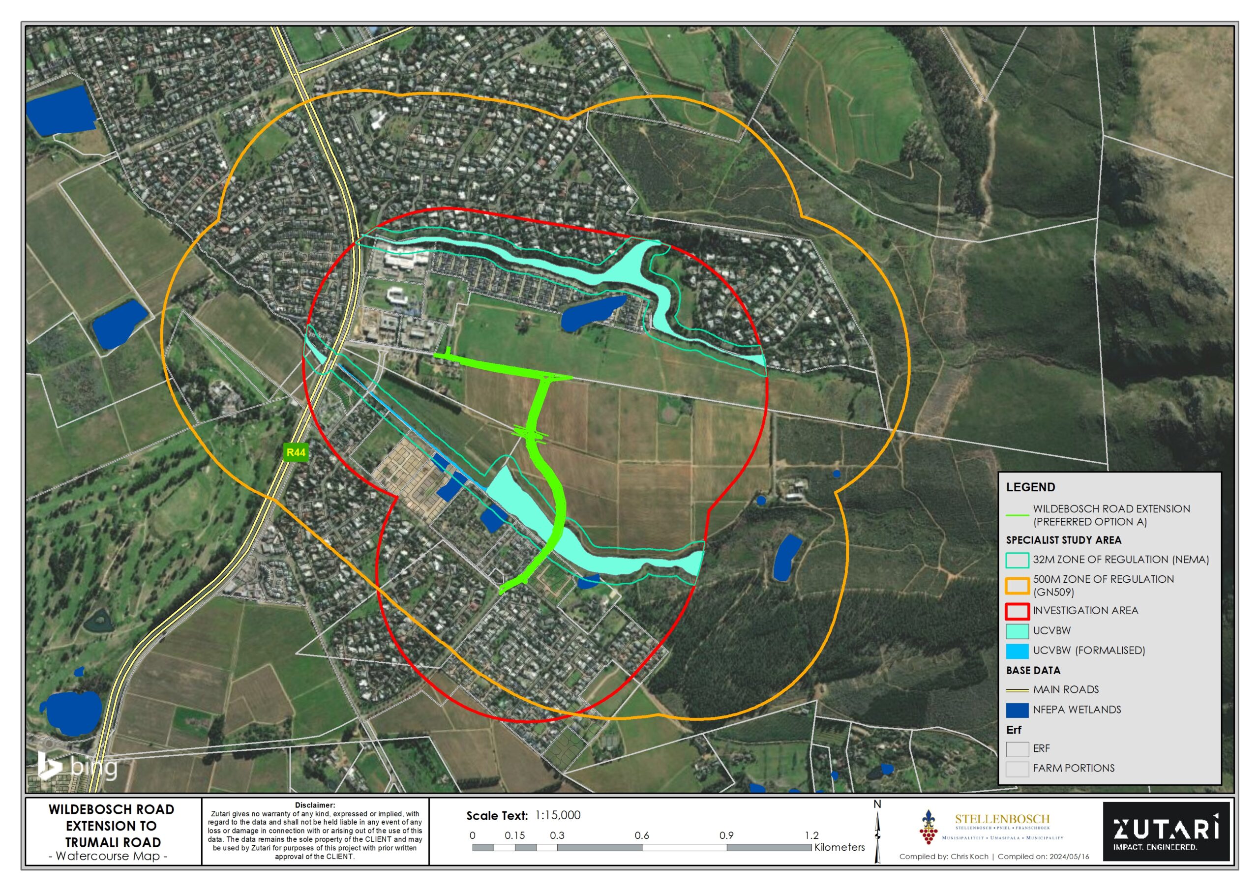
ANNEXURE A: Maps
ANNEXURE B: Site Development Plans
Drawings:
| Preferred option | Alternate option |
Maps:
| Preferred option | Alternate option |
Preferred Option_Site Development Plan Preferred Option_Site Development Plan (Minor contour lines) Preferred Option_Site Development Plan (Major contour lines) |
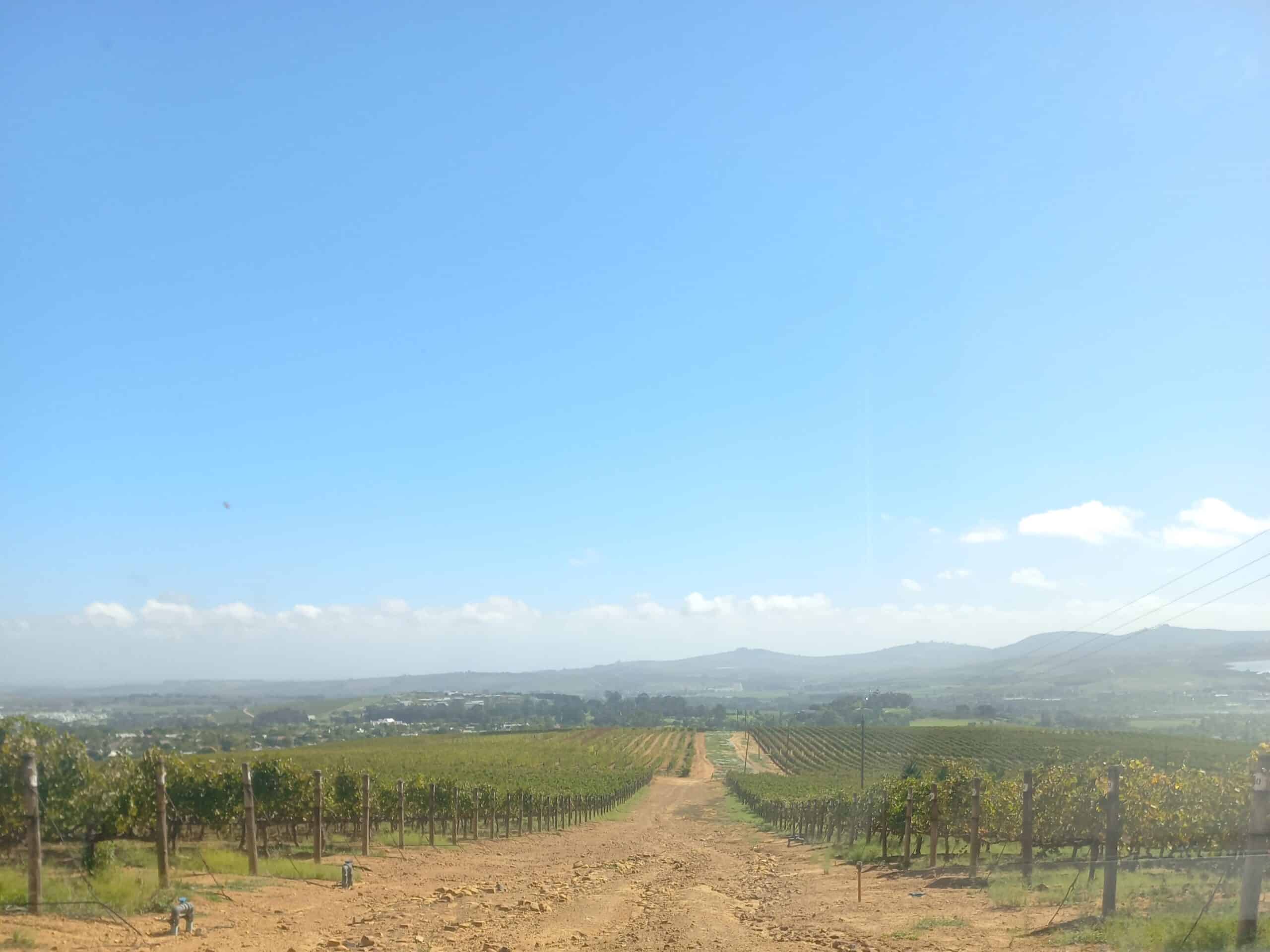
ANNEXURE C: Photographs
Photo 1 | Photo 2 | Photo 3 | Photo 4 | Photo 5
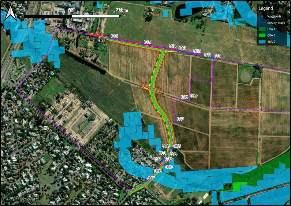
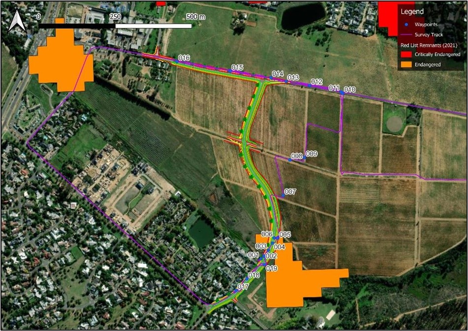
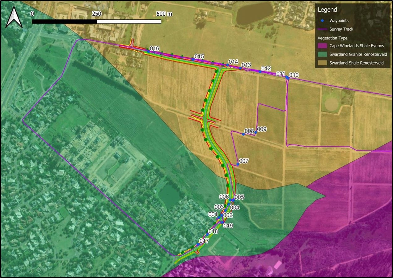
ANNEXURE D: Biodiversity Overlay Maps
ANNEXURE E: Comments
Comments from the Heritage Western Cape regarding the NOI
ANNEXURE F: Public Participation Process
Stakeholder notification letter
ANNEXURE G: Specialist Reports
Landscape & Visual Impact Assessment
Socio-economic Site Sensitivity
ANNEXURE H: EMPr
Wilderbosch Road Alignments Draft EMPr For Public Comment
ANNEXURE I: Screening Tool Report
ANNEXURE J: Impact and Risk Assessment
Specialist Risk Assessment Methodology Report
ANNEXURE K: Need and Desirability
ANNEXURE L: Deeds Office Property Reports
Erf 16527 Stellenbosch RD | Deeds Office Propoerty Report
Portion 0 Farm Brandwacht 1049 Stellenbosch RD | Deeds Office Property Report
RE of Farm 369 Stellenbosch RD | Deeds Office Property Report
ANNEXURE M: Site Sensitivity Verification Report
Wildebosch Road Alignment | Site Sensitivity Verification Report